How do you want to travel?
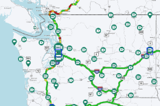
View data by road
See real-time alerts, cameras and restrictions in a list view by road.
Which road?
View alerts and cameras by route
View boarding status by terminal
Which airport?
Projects and improvements in your county.
Explore the progress of projects focused on creating safe and reliable ways to move people and goods around Washington.
County
Featured Project
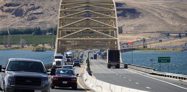
I-90 Vantage Bridge – Replace Bridge Deck and Special Repairs
Travelers crossing the Columbia River on I-90 will see lane closures over spring and summer as crews work to replace the entire surface of Vantage Bridge.
Access the resources you need to maintain and improve the transportation system.
Latest from WSDOT...
- KIRKLAND – Relief is coming for drivers who regularly experience delays accessing Interstate 405 in Kirkland’s Totem Lake area. Weather permitting, crews working for the Washington State Department of Transportation will open the new Northeast 132nd Street on-ramp to northbound I-405 and southbound I-405 off-ramp to Northeast 132nd Street on Monday, April 29.
- TONASKET – A trio of roads in Okanogan County will be repaved this spring, to extend their service life.
- MONTESANO – Another round of traffic shifts is coming to US 12 as part of a fish barrier removal project. Weather permitting, two new bridges will open to travelers the week of April 29.